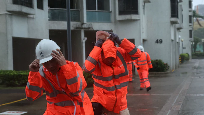
Hurricane-force winds and heavy rain disrupt transport as Typhoon Wipha passes just 50 km south of city
Hong Kong [July 20, 2025]: Hong Kong issued its highest storm warning signal on Sunday as Typhoon Wipha battered the territory with winds exceeding 167 km/h (103 mph), torrential rain, and severe coastal conditions.
The Hong Kong Observatory raised its No. 10 warning signal — the most severe in its storm alert system — at 9:20 a.m. local time (0120 GMT), cautioning that the alert would remain in place “for some time.”
According to the observatory, Wipha is expected to pass about 50 km south of the city, with hurricane-force winds already affecting the southern parts of Hong Kong.
Massive Disruptions Across City
The storm caused widespread disruptions to transport and flight schedules. Over 200 flights were cancelled, including all Cathay Pacific arrivals and departures between 5 a.m. and 6 p.m. The airline announced a waiver of change fees and offered rebooking options for affected passengers.
Meanwhile, public transport services were largely suspended, with ferry operations halted due to dangerous sea swells and limited rail and road transit available across the city.
Authorities are urging residents to stay indoors, secure loose items, and avoid coastal areas. Emergency response teams remain on standby to address potential flooding and fallen trees.


